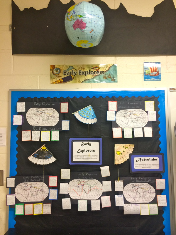
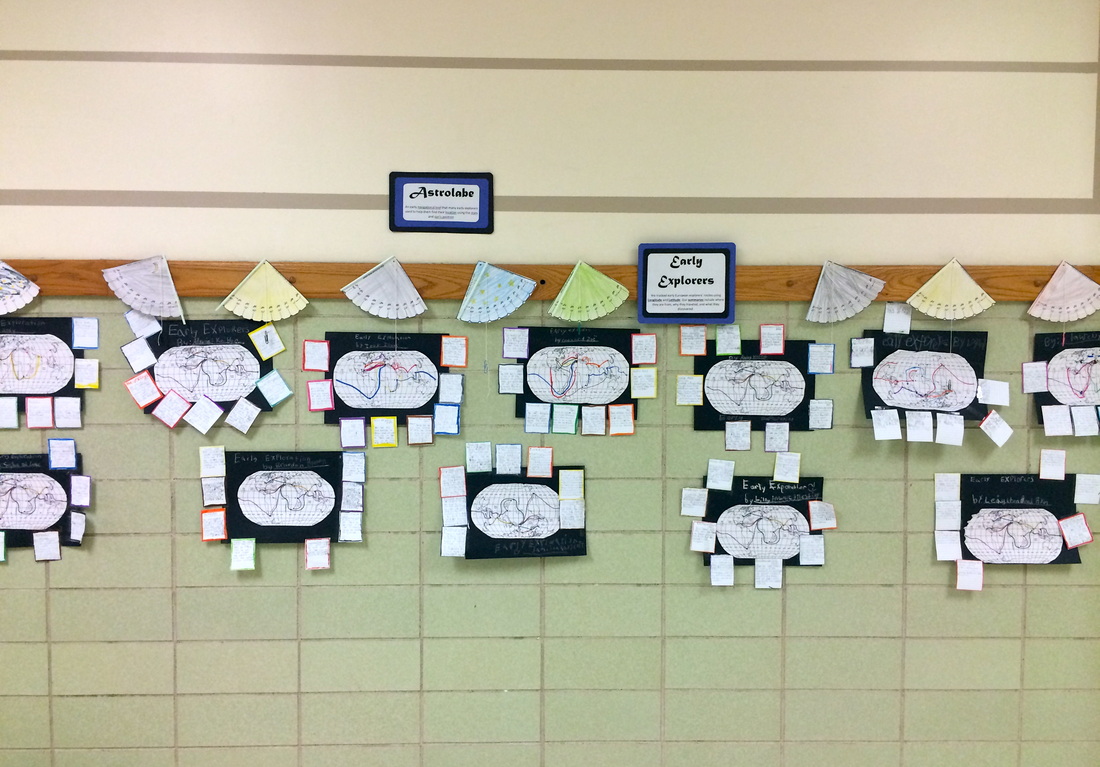
Integrating math (coordinate grids), social studies (explorers/longitude and latitude), reading (non-fiction), and writing (summaries) we have been working on our large Explorer Unit partner projects. There has been lots of learning going on!
Reading longitude and latitude on a map is much like reading a coordinate grid. The latitude line represents the X axis and the longitude line represents the Y. We learned about coordinate grids and how to read longitude and latitude by playing the classic game "Battleship" with a partner.
During one the classes, we had our fourth grade buddies visiting so they had the opportunity to play along :)
Another day, partners were given a blank world map and an envelop of mystery coordinates. They then had to plot the coordinates on their map changing the colors for each coordinate set.
Next, partners worked together to identify which explorer matched the coordinates by reading short biographies. They then matched the correct Explorer with their travel route and color. This part was FULL of geography learning as students began to utilize their resources including maps, globes, and their own knowledge to identify countries, continents, oceans, and exact locations.
Finally, we used the information from the biography cards to write non-fiction summaries of the Explorer's travels making sure we included the who, what, where, when, why, and how components.
FINAL PROJECT DISPLAYS
 RSS Feed
